LayerCellular coverageView in app
Check coverage before you go
Staying connected is essential to outdoor travel. Use Roam Community's cellular coverage layer to see where carriers report coverage and plan for a campsite ahead of time.
LayerCampgroundsView in app
See campsites, not just campgrounds
Roam Community merges campground maps with real map feed to create a more detailed representation of campsites. View how level each site is and observe availability directly on the app. Currently only available for federal campsites.
LayerDispersed campingView in app
Camp beyond the campground
No reservation? Use Roam Community's dispersed camping layer to see where you can camp with your car, by the land manager's own rules. Tap a road to see its surface, whether your car can make it, and how far off it you can camp. Signs on the ground always win.
LayerForecastView in app
Be ready for any weather
Use Roam Community to keep track of cloud, rain, wind, and temperature forecasts. The app uses over thirty years of weather data to help you better plan for your favorite weather conditions.
LayerTemperature averagesView in app
Chase the weather you enjoy
Roam Community uses over thirty years of weather data to determine monthly normals for temperature, rain, and snow so trips can be better planned to chase your favorite weather.
LayerFall foliageView in app
Track fall foliage
Make sure you're getting the best out of each campsite’s natural beauty. Use Roam Community's interactive fall foliage layer to find ideal campsites with seasonal leaves.
LayerTree coverView in app
Prepare for shade or sun
Forest coverage can be a blessing or a curse. Roam Community maps the tree canopy in fine detail, from Meta's canopy-height map and campers' own scans, to help you estimate satellite connection, solar power, and shade.
ToolRoutesView in app
Plan your next adventure
Use Roam Community to plan hikes on the trail network. See elevation gain, mileage, and time estimates before you set out from camp.
ToolShare cards
Share where you've been
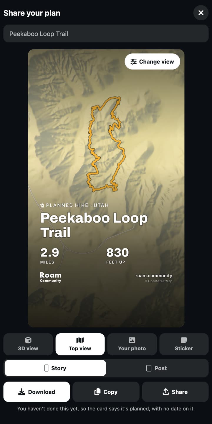
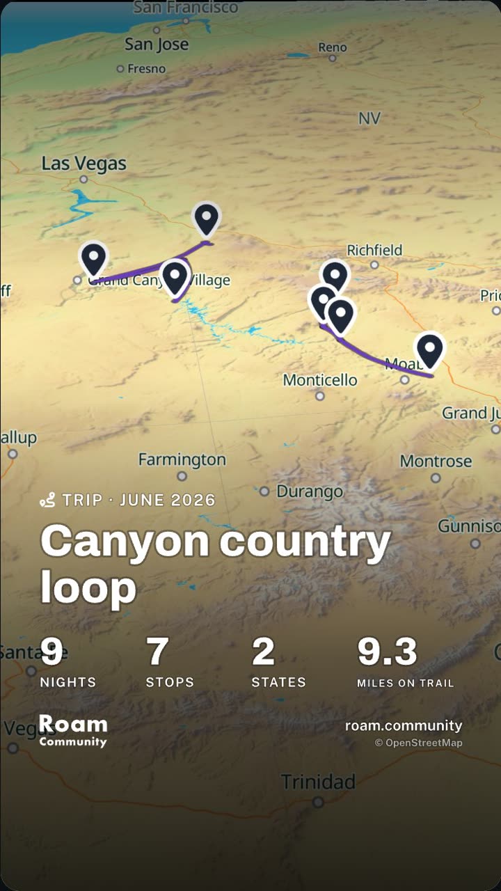
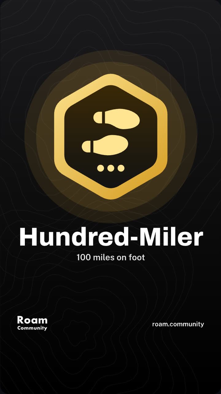
Turn a hike, a trip or a badge into a card for your story or your feed: on the map, over your own photo, or as a see-through sticker.